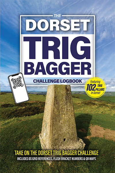
The Dorset Trig Bagger Challenge Logbook
Trig points, or trigonometrical stations to give them their proper name, are a common sight and much-loved feature of Britain’s hills. Constructed between 1936-1962 as part of the Ordnance Survey’s retriangulation of Great Britain, this logbook is your ideal hiking companion as you ‘bag’ them all in Dorset.
Keeping a logbook is great for reminiscing about your adventures, share your hikes with friends and family – tick off the list as you complete the challenges one by one. This logbook contains 102 trig pillars in Dorset.
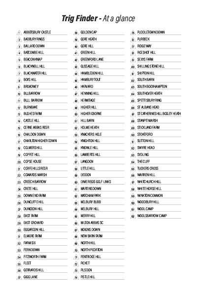
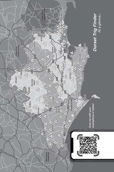
Finding your trigs are easy, a county-wide map shows you their locations – and a handy QR link opens a dedicated map on your smartphone which you can use to plan routes & navigate to your destinations. Contents pages are easy to use, with each trig listed both alphabetically and by height ascending order. Each trig log page includes OS grid references as well as a QR code to open a map of the destination so you can plan your route.
A perfect journal of your hiking adventures in Dorset – now your challenge is to complete them all!
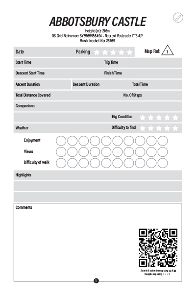
Log book pages include:
- Trig pillar information includes; Trig name, flush bracket number, height, OS grid reference, nearest postcode for sat nav & QR code.
Key Features
- Easy to use contents pages
- 102 trig pillars to bag
- Trig per page layout
- Includes QR codes to open maps on your smartphone
- Perfect for walkers & hikers
Sample pages from this book:


